Optimizing BIM/CAD Integration with Modern GIS Tools
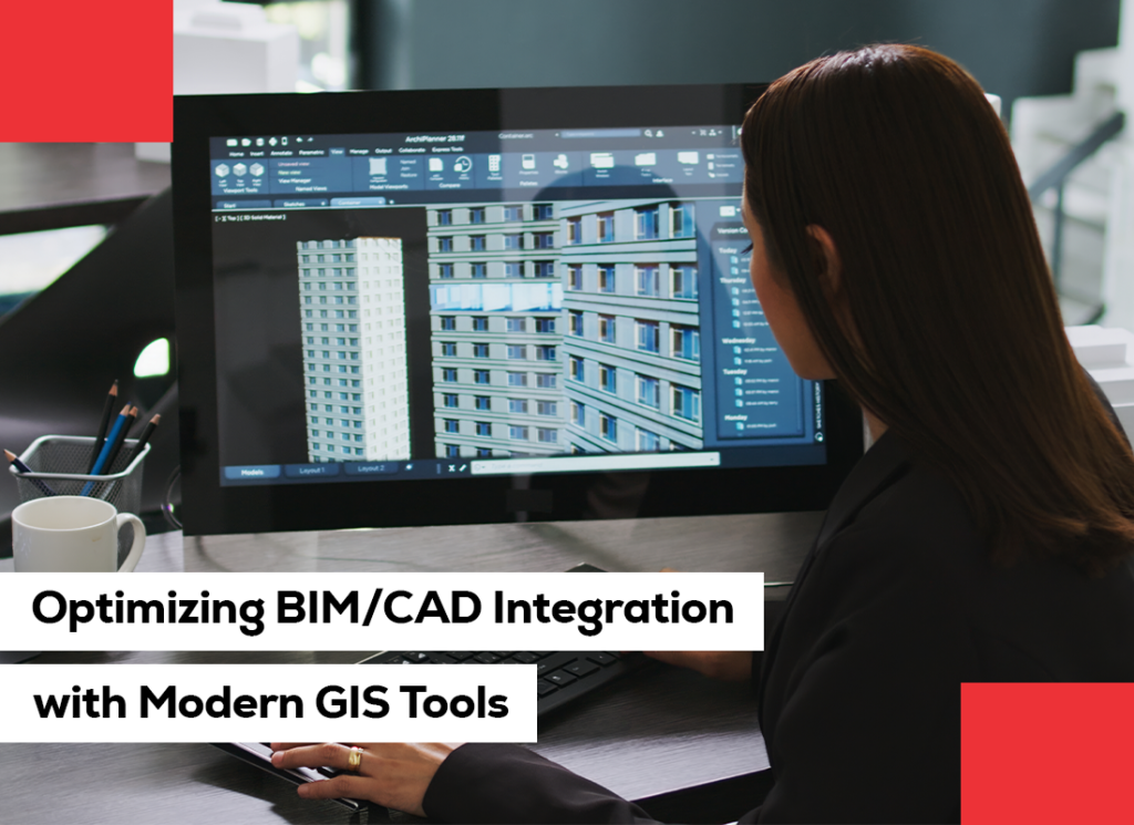
The architecture, engineering, and construction (AEC) sector is experiencing a digital shift in which integration and data connectivity equal project success. Design and construction processes have been built on BIM services and CAD services for years, allowing for accurate modelling and documentation. Yet, as projects have increased complexity and geographic dispersion, the requirement for contextual awareness, knowing how a building interacts with its environment, has become paramount. This is where GIS (Geographic Information Systems) integration takes over. The integration of BIM, CAD, and GIS creates an integrated digital environment where spatial information intersects with design insight. For Geninfo Solutions, we specialize in maximizing this integration to provide data-informed insights that increase planning accuracy, design productivity, and sustainable results. This blog explores how combining BIM/CAD with modern GIS tools can revolutionize the way we design, manage, and operate built environments. The Evolving Digital Landscape: BIM, CAD, and GIS Before diving into integration, it’s essential to understand how these systems function individually. CAD (Computer-Aided Design): CAD is the foundation of 2D drafting and 3D modelling. With CAD, it is possible to create technical drawings and detailed designs precisely. Our CAD services make sure that every engineering, architectural, and structural component is accurately represented for construction and fabrication. BIM (Building Information Modelling): BIM goes one step beyond CAD. It includes intelligence in models by integrating data on materials, performance, and lifecycle management. With BIM services, we create digital models that are a single source of truth throughout the project lifecycle. GIS (Geographic Information System): GIS adds spatial context to mapping actual locations and terrain. GIS enables planners and architects to weigh how natural terrain, infrastructure, and environmental considerations affect design decisions. Separately, each system brings valuable functionality. Together, they become a robust platform where project information and geographic data come together to provide better insights and better solutions. The Need for BIM/CAD and GIS Integration As cityscapes grow and projects become increasingly data-driven, it is no longer sufficient to build structures in a siloed manner. The combination of BIM, CAD, and GIS closes the gap between design and real-world application, offering a 360-degree simulation of a project’s spatial and functional context. Our team at Geninfo Solutions takes advantage of this convergence to: Increase location intelligence and site planning. Facilitate infrastructure coordination with the surrounding environment. Provide real-time updates and decision-making across the life of a project. Integrating CAD and BIM with GIS means that all design elements fit together perfectly in their physical environment, facilitating improved planning, less risk, and more sustainability. How Integration Works Integrating BIM/CAD with GIS requires connecting the geometric precision of BIM models and CAD diagrams with the spatial data layers that GIS offers. This allows design teams to see how buildings fit into their real-world environment, taking into account such elements as topography, climate, transportation, and local utilities. For example: CAD-based site plans can be georeferenced inside GIS so that designs are aligned with real-world coordinates. BIM models can be integrated with GIS data to model environmental effects, determine accessibility, or design infrastructure connectivity. GIS data can be applied for flood risk assessment, urban planning, and land-use analysis, adding richness to the design intelligence in BIM modelling services. This multi-dimensional merger leads to a data-intensive, geospatially conscious model that enables more intelligent decision-making across disciplines. Advantages of BIM/CAD-GIS Integration 1. Improved Site Planning and Visualization When BIM and CAD information are georeferenced in GIS environments, planners are able to examine several site conditions simultaneously, terrain grades, land use, transportation networks, and utility infrastructure. This integrated perspective enhances site selection, feasibility studies, and environmental regulatory compliance. With BIM services, we bridge design models with spatial information in order to enable stakeholders to imagine not only the building itself but also how it relates to its environment. 2. Enhanced Decision-Making through Data-Driven Insights By uniting BIM expertise and geospatial information, decision-makers have access to entire datasets of information that guide design and construction planning. Urban planners, for instance, can analyze infrastructure layouts against population density or environmental limitations. With this convergence, the same platform becomes a cohesive decision-making environment where design intent and actual site conditions are synchronized. 3. Efficient Project Coordination Incorporating GIS data into BIM modelling services minimizes information silos and streamlines collaboration amongst multidisciplinary teams. Engineers, architects, and urban planners can collaborate within a common digital space, maintaining data consistency and spatial precision across the life of the project. The integrated workflow enables superior BIM project management, where coordination among stakeholders is in real-time and data misalignment errors are eliminated. 4. Sustainable Design and Environmental Analysis GIS data allows for analysis of topography, vegetation, water flow, and solar exposure. When embedded in BIM services, it informs the development of sustainable and energy-efficient designs. For instance, the use of solar radiation data can optimize building orientation, and analysis of topography can inform foundation design or drainage planning. The outcome is a sustainable context-aware project that minimizes environmental footprint and operational expenses. 5. Lifecycle Asset Management Once the project progresses from design to operation, BIM-GIS integration remains beneficial. The integrated model can be utilized by facility managers to track infrastructure, schedule maintenance, and analyze performance over time. By correlating as-built BIM models with GIS data, operators get location-centric insights that enhance asset management, maximize space utilization, and maximize facility lifespan. At Geninfo Solutions, we leverage BIM tools that are tightly integrated with GIS platforms to provide continuous operational insight long after project completion. Pivotal Tools and Technologies Enabling Integration Emerging software solutions are enabling easier integration of BIM/CAD and GIS than ever. Autodesk Revit, AutoCAD, Esri ArcGIS, and InfraWorks are some of the tools that come with built-in connectors that enable data synchronization between platforms. These integrations enable users to: Directly import GIS data into BIM environments. Geolocate CAD designs with correct coordinate systems. Publish BIM models to GIS portals for public or stakeholder use. By linking CAD services and BIM services with contemporary GIS tools, project teams gain an unprecedented degree of precision and transparency. Challenges in
Maximizing Space and Savings Using BIM
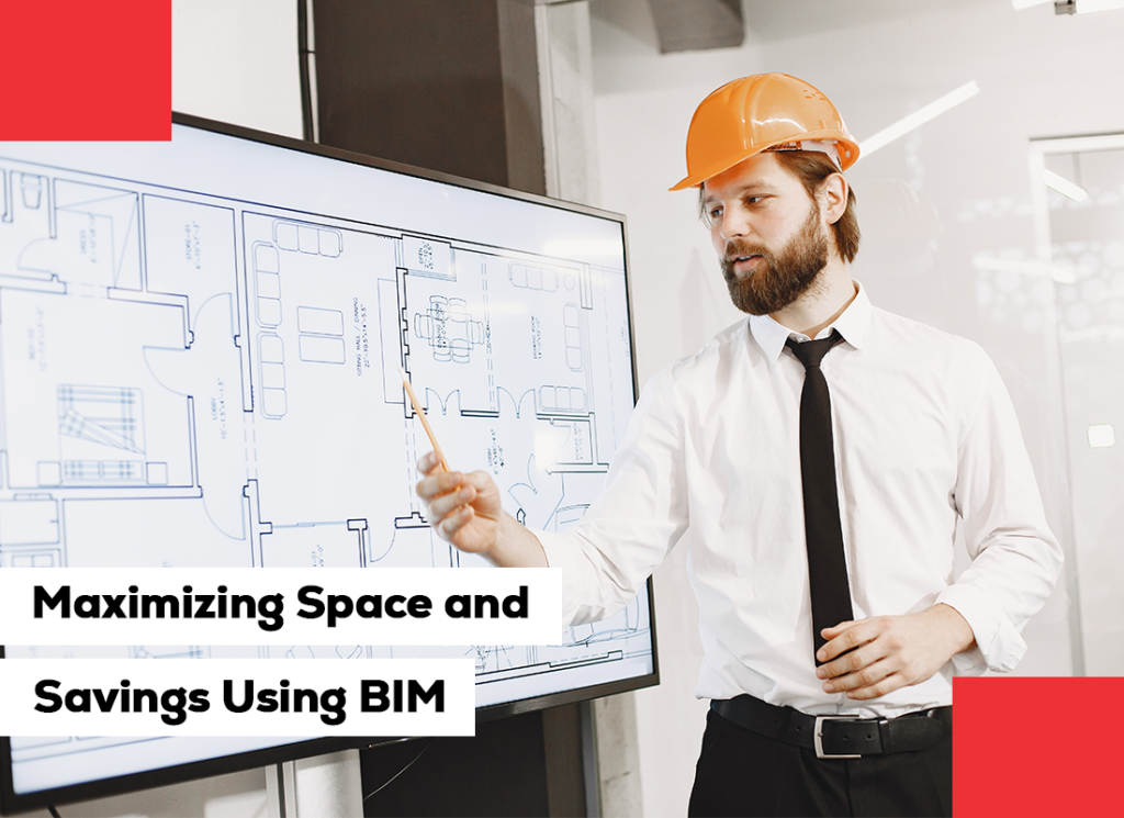
With the fast-evolving AEC industry, the key to every successful project is efficiency. Space utilization, waste reduction, cost management, whatever the concern, optimal outcomes demand accuracy and prudence. This is where the impact of BIM services comes in, transforming the way spaces are planned, designed, and delivered. At Geninfo Solutions, we believe that each square meter of a project is precious. With top-of-the-line BIM modelling services, we facilitate clients to unleash dormant efficiencies, automate construction processes, and eventually save space and dollars. This not only improves design accuracy but also provides environmentally friendly and cost-effective project results. Embracing the Power of BIM Building Information Modelling (BIM) is more than just a 3D design tool, it’s an intelligent process that integrates multidisciplinary information to create rich digital representations of physical and functional building attributes. By integrating the architecture, structure, and MEP (Mechanical, Electrical, and Plumbing) systems into one model, BIM services facilitate an end-to-end view of a building’s life cycle from initial concept design through operation and maintenance. The benefit? Greater coordination, fewer rework, and major cost savings. For developers, builders, and architects, BIM is the blueprint to smarter, greener projects. Space Optimization Through BIM Space optimization is arguably the biggest construction and design challenge. A poorly thought-out floor plan can lead to more material than necessary being used, squandered space, and operational inefficiencies once completed. BIM solutions address these issues head-on by allowing architects and engineers to view, simulate, and modify layouts well before actual construction. 1. Intelligent Spatial Planning BIM models provide accurate insight into the performance of space under real conditions. Designers can model several different layouts, analyze circulation patterns, and assess spatial relationships between different spaces. This allows each space to perform as required, be it optimizing floor area in office structures or optimizing utility in compact residential works. 2. Clash-Free Coordination One of the strengths of BIM modelling services is clash detection. By uniting various design disciplines within one model, BIM identifies conflicts, such as overlapping structural beams, electrical conduits, or HVAC ducts, before they are built. Not only does this avoid waste of space, but it also minimizes the need for costly redesigns and wastage of materials on-site. 3. Adaptive Design Solutions Incorporating flexibility in designs is another method by which BIM maximizes available space. For instance, models can model modular arrangements or possibilities for expansion in the future, such that buildings can adapt to evolving needs. This flexibility is particularly useful for commercial and institutional buildings that will need to reconfigure space in the future. Cost Savings Made Possible by BIM In addition to space productivity, the economic benefits of BIM services go beyond. Through better project coordination, greater precision, and fewer errors, BIM translates into measurable cost savings across the project lifecycle. 1. Cost Saving on Rework and Errors Traditional design practices are often founded on 2D drawings, which can lead to miscommunication and costly onsite errors. BIM addresses these challenges with data-rich 3D visualization and real-time coordination of disciplines. Design revision is propagated automatically through the model, keeping all teams in sync and reducing rework. Across the global construction industry, in studies, it has been stated that the utilization of BIM will reduce rework cost by as much as 40%, a direct bottom-line benefit. 2. Accurate Quantity Take-offs With BIM modeling services, quantities of materials can be selected directly from the model to facilitate proper cost estimation and procurement. Not only does this render the budget more realistic, but it also stops contractors from over-purchasing materials, one of the key drivers of cost overruns. 3. Enhanced Construction Scheduling Integrating 4D scheduling into BIM allows project teams to visualize construction sequences in time terms. By defining possible delays in advance and improving task sequencing, teams can minimize idle labor time along with resource wastage. Saved time is saved money, one of the biggest advantages of using BIM project management. 4. Enhanced Facility Lifecycle Value BIM’s value is not limited to the point when the construction is complete. The virtual model is an enduring asset at the facility management stage with rich material, equipment, and maintenance schedule information. It supports smooth operation, reduces maintenance costs, and optimizes the building’s lifespan, generating extra economic value in the future. BIM Collaboration: The Key to Smooth Implementation Collaboration is the backbone of any successful project, and BIM collaboration promotes real-time communication and coordination among all the stakeholders. Engineers and architects, contractors, and facility managers are all working on one single model that updates dynamically. This shared space reduces miscommunication and enables speeded decision-making. Cloud-based solutions also enable remote collaboration, with project teams being able to view and update information anywhere, an essential component in today’s globally integrated construction world. At Geninfo Solutions, we are committed to collaborative BIM workflows that build transparency, efficiency, and accountability through the life cycle of the project. Integrating BIM into Project Management When used correctly, BIM transforms not only the design process but also project delivery and management. Project management using BIM is based on leveraging the model as a central platform for cost management, scheduling, resource management, and monitoring performance. 1. Simplified Communication and Reporting With all project information in one place within a BIM environment, stakeholder communication is faster and more accurate. Teams can generate real-time reports, track progress graphically, and identify potential delays at the touch of a button. 2. Risk Mitigation BIM’s analytics allow identifying construction and design risks before they impact the project timeline and budget. With several “what-if” simulations, project managers can make informed decisions to minimize potential issues at the early stages. This forward-thinking approach ensures fewer delays, less ambiguity, and more consistent outcomes, a hallmark of effective BIM project management. Sustainability and Long-Term Efficiency Green building is not an option; it’s mandatory. With BIM services, architects and engineers can analyze energy efficiency, lighting levels, and material performance before construction even begins. This enables designs to optimize natural light, ventilation, and energy usage, reducing operational costs. In addition, BIM supports green practices through minimizing